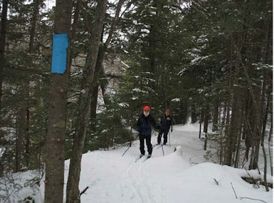
Chuck Ganzert & Puck Bates skiing on new trail along the south side of the Little Garlic River. (photo from NCT Hikers "Footprints") |
from Footprints, Winter 2011
Once the season’s trail maintenance was completed, the NCTH trail crew began building a 4.2 mile new segment of trail. From the north end of Segment 16 - Little Presque Isle Point to Echo Lake Road, the new trail segment crosses Echo Lake Road and then enters the woods winding up the hill, following the ridge to a nice view (when leaves are off the trees) of Lake Superior. From here it turns northwesterly meandering through the woods sometimes following old logging roads as it passes Gokey Rock.
Eventually a spur trail up Gokey Rock will give hikers a chance to climb up, take a break and enjoy the view. From Gokey Rock, the trail continues more northerly as it heads to the south side of the Little Garlic River. At the river it turns east following the ridge to County Road 550.
At 550 turn left to cross the Little Garlic River bridge and then into the parking area at Elliott Donnelley Wilderness.

new trail map (from NCT Hikers "Footprints") |
This new segment replaces Segment 17 - Eagles Nest Road (Echo Lake Road) to Elliott Donnelley Wilderness and eliminates two crossings of County Road 550.
 This segment is on NCTA map MI-11
See North Country Trail Hikers Chapter of the NCTA


No comments:
Post a Comment